
Ondo
Ondo State is located in the southwestern region of Nigeria, bordered by Ekiti State to the north, Kogi and Edo States to the northeast and east, Delta State to the southeast, Ogun State to the west, and the Atlantic Ocean to the south. The state covers an area of approximately 15,500 square kilometers.
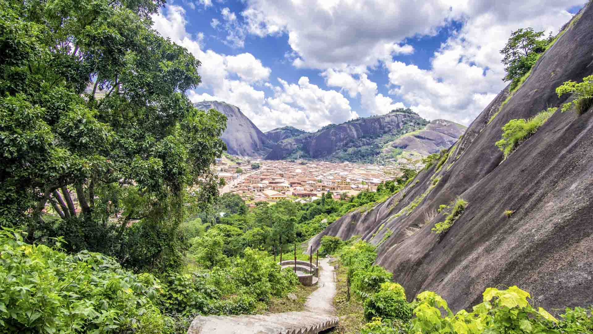
The terrain is a mix of lowlands along the coast, gently rolling hills in the central region, and higher elevations toward the northern areas. Ondo is known for its fertile soil, which supports agriculture—especially cocoa, yam, cassava, and oil palm plantations.
Major cities and towns visible on the map include Akure (the state capital, located centrally), Ondo Town, Owo, Ikare-Akoko, Idanre, and Ilaje along the coastline. Rivers such as the Ose River and Owena River traverse the state, feeding into lagoons and the Atlantic.
The state’s road network connects key towns, while smaller roads branch out into rural communities. The map also highlights administrative divisions, including local government areas like Akure North, Akure South, Owo, and Ondo East and West.
Ondo’s landscape combines lush greenery, undulating hills, and coastal mangroves, making it a state with both agricultural richness and scenic beauty.
Explore the place